Live Earth Map is a viable option for users seeking a visual overview of live weather patterns and cloud cover from a satellite perspective. The app integrates a dedicated weather layer that pulls in data to display current cloud formations, precipitation, and even wind currents over its detailed base maps. This is particularly useful for activities like planning outdoor events, understanding a storm's approach before a flight, or simply getting a broader geographical context of weather systems beyond a standard forecast. A specific feature allows users to zoom in on a region of interest, such as a coastline or mountain range, to observe how cloud cover is moving in that specific area. However, it's important to manage expectations; the satellite imagery itself is not always literally 'live' and can sometimes be several hours old, while the weather overlay data refreshes more frequently. Some users report that the interface, while functional, can feel cluttered when multiple layers are active. For a quick, free visualization of meteorological data on a map, it serves its purpose well, though dedicated weather apps might offer more precise local forecasts.
Key Features
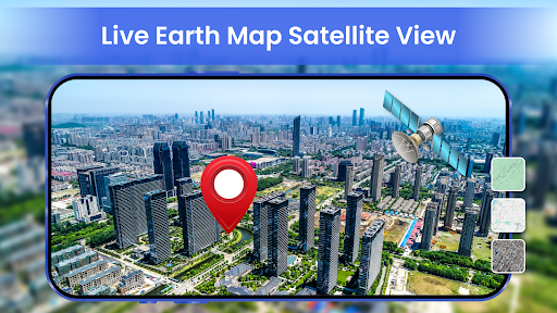
Live weather overlay showing clouds/precipitation
Interactive global satellite base map
Zoomable region-specific views for detailed observation
“
Used this to watch a storm system roll in before our camping trip. The cloud animation wasn't super high-res, but it gave us the big picture we needed to decide to postpone. Pretty handy for free.
★★★★★Verified User Review
AndroidUpdated Dec 20, 2025