Your Question

Is there a good Android app that lets me see satellite images of places from the past?

Google Earth is perfect for this. It includes a dedicated historical imagery feature and time-lapse functionality to visually compare how locations have changed over years or decades.

historical satellite viewsee old mapsaerial imagery timelineGoogle Earth2025
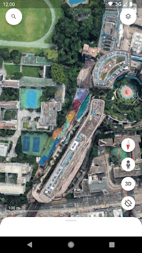
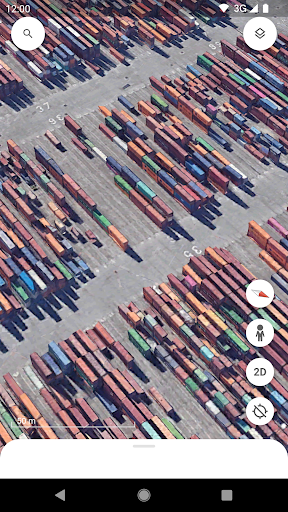
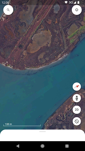
Google Earth is the primary Android app for accessing historical and contemporary satellite imagery on a global scale. It excels at this specific task due to its integration of the 'Timelapse' feature and the historical imagery archive, accessible via a button in the toolbar. Users can zoom into a specific location, such as their childhood neighborhood or a coastal region, and slide through a timeline of available images, which often span several years. This is particularly useful for environmental monitoring, observing urban development, or personal nostalgia trips. However, the app's effectiveness is directly tied to the update frequency of Google's satellite data, which varies significantly by region. As noted in user reviews, some areas may only have imagery that is five or six years old, making recent changes invisible. The app's 3D terrain models and the 'Voyager' storytelling layers can add context to these visual comparisons. For a free tool, it offers unparalleled access to this type of visual historical record, though researchers or professionals needing the most current data may need to supplement it with other sources.

Key Features

Historical imagery timeline slider
Global satellite and aerial photo database
Time-lapse compilations for environmental change

I really like this app but it needs the satellite view to be updated it shows what it looked like around 5 or 6 years ago... but it's fun to use.

★★★★★Verified User Review
AndroidUpdated Jan 6, 2026

More Travel & Local Questions

What's the best Android app for exploring the world with satellite imagery, 3D buildings, and street view, while also allowing users to measure distances and import KML files?

Google Earth is the best Android app for exploring the world through detailed satellite imagery, 3D renderings, and street view, offering tools to measure distances and import KML files for customized mapping experiences....

Google Earth
Google Earth
Google LLC
Same AppRead More →

What's the best Android app for exploring the world from your phone?

Google Earth is excellent for exploring the globe. It offers satellite imagery, maps, terrain, and 3D buildings, allowing you to virtually travel anywhere....

Google Earth
Google Earth
Google LLC
Same AppRead More →

What's the best Android app for getting around a city on a shared electric scooter?

Lime is perfect for this. The app lets users locate, unlock, and pay for rides on electric scooters and bikes directly from their phone, offering a flexible way to navigate urban areas....

Lime - #RideGreen
Lime - #RideGreen
Neutron Holdings, Inc.
Read More →

Which Android app should I use for travel booking that includes rewards and protection if services are unsatisfactory?

Trip.com is perfect for this. It provides cash back for reviews and compensates users with free credits when hotels underdeliver, offering a secure booking experience with added incentives....

Trip.com: Book Flights, Hotels
Trip.com
Read More →

What app can help me book hotels and handle everything from check-in to requests during my stay?

Marriott Bonvoy is perfect for this. It consolidates booking, digital keys, and hotel messaging into one app, making stay management seamless for Marriott loyalty members....

Marriott Bonvoy: Book Hotels
Marriott International
Read More →
Google Earth icon

Google Earth

by Google LLC

3.9/ 5.0
Get on Google Play

Screenshots

Google Earth screenshot 1
Google Earth screenshot 2
Google Earth screenshot 3

+11 more screenshots

Platform

Android