by Mortys Games
Detailed Review
Key Features
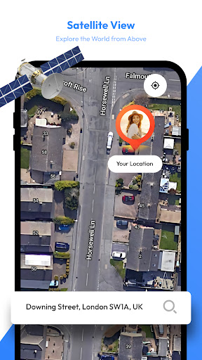
- •High-resolution satellite imagery providing detailed aerial views of global landscapes and urban areas for enhanced spatial awareness
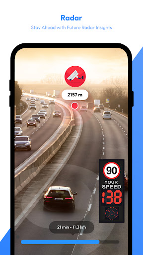
- •Real-time weather radar tracking precipitation patterns, storm movements, and meteorological developments with color-coded intensity indicators
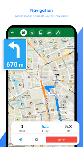
- •Seamless layer integration allowing instant switching between map views and weather data without interrupting navigation sessions
- •Global coverage ensuring consistent satellite imagery and weather data availability across most populated regions worldwide
- •Intuitive gesture controls enabling smooth zooming, panning, and rotation of maps for detailed examination of areas of interest
Why Users Love It
Perfect for: Travelers requiring combined navigation and weather monitoring capabilities
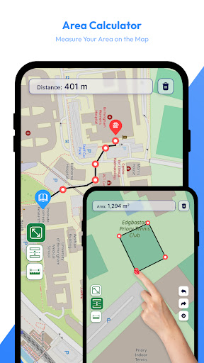
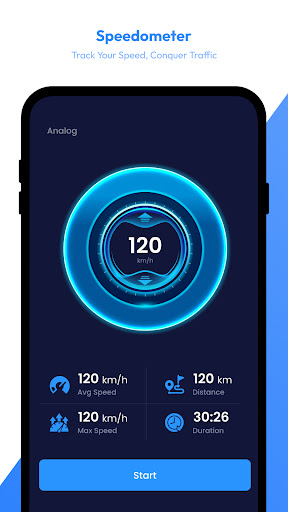
Screenshots

Ranking History
Track Satellite View - Maps - Radar's performance in Maps & Navigation over the last 30 days
Current Rank
#6
1 from last week
Best Rank
#5
All-time high
Average Rank
#7
30-day average
Questions & Answers
Is there a good Android app that lets me look at satellite maps without using mobile data?
Satellite View is a straightforward application designed for accessing satellite imagery with minimal data requirements. Its primary strength for this...
Ad — Extra Q&As are paid placements. Editorial standards apply; rankings unchanged.Learn more
What's the best Android app for viewing live satellite imagery, detailed maps, and accurate weather radar on my phone?
Satellite View - Maps - Radar is an excellent Android application for anyone needing access to live satellite views, comprehensive maps, and up-to-dat...
What's the best Android app for exploring the world through satellite imagery and live radar?
"Satellite View - Maps - Radar" is an excellent choice for anyone who wants to explore the world from a bird's-eye view and stay informed about weathe...
What's a good Android app for exploring locations with satellite imagery and live radar?
Satellite View provides a robust platform for exploring the world through satellite imagery and real-time radar. It stands out with its detailed maps,...
User Reviews
was able to find my location on the satelite map. kinda interesting. I wanted to be able to view different areas of the world in realtime, not just stationary maps n location pins.
was able to find my location on the satelite map. kinda interesting. I wanted to be able to view different areas of the world in realtime, not just stationary maps n location pins.
User-Friendly Interface: The app's intuitive design and easy-to-use interface are frequently mentioned as positives. highly recommended for those individuals can't afford an internet or doesn't have enough data cheers..
User-Friendly Interface: The app's intuitive design and easy-to-use interface are frequently mentioned as positives. highly recommended for those individuals can't afford an internet or doesn't have enough data cheers..
User-Friendly Interface: The app's intuitive design and easy-to-use interface are frequently mentioned as positives. highly recommended for those individuals can't afford an internet or doesn't have enough data cheers..
App Details
Developer
Mortys Games
Platform
androidRating
Last Updated
1/8/2026