
by Negroni
Detailed Review
Key Features
- •Live weather radar overlay shows precipitation patterns and storm cells directly on navigation maps for route planning around severe conditions
- •Crowd-sourced hazard reporting enables users to share and view real-time alerts for police presence, accidents, and road obstacles
- •Heads-up display mode projects speed, direction, and upcoming turns onto windshield for improved night driving safety
- •Speed trap detection uses multiple data sources to provide advanced warning of enforcement zones and traffic cameras
- •Offline map downloading ensures navigation functionality continues in areas with limited cellular connectivity
- •Customizable alert types allow users to filter notifications by category including construction, crashes, and police reports
Why Users Love It
Perfect for: Frequent drivers seeking enhanced road awareness and real-time hazard detection alongside standard navigation
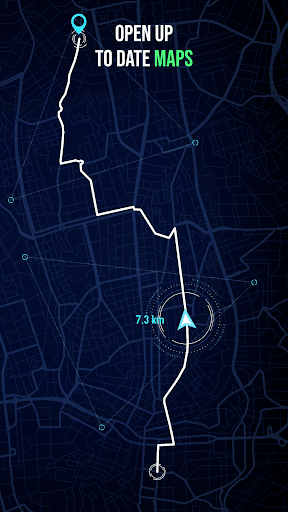
Screenshots


User Reviews
Nice app that's awesome and I think it would be a great opportunity to get a good app for you guys to use free online map
Nice app that's awesome and I think it would be a great opportunity to get a good app for you guys to use free online map
Nice app that's awesome and I think it would be a great opportunity to get a good app for you guys to use free online map
Nice app that's awesome and I think it would be a great opportunity to get a good app for you guys to use free online map
Nice app that's awesome and I think it would be a great opportunity to get a good app for you guys to use free online map
App Details
Developer
Negroni
Platform
androidRating
Last Updated
11/17/2025