
by TarrySoft
Detailed Review
Key Features
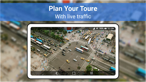
- •Real-time satellite imagery integration provides current geographical data visualization essential for accurate environmental assessment and monitoring
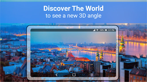
- •Advanced 3D terrain modeling renders topographical features with precision, enabling detailed examination of elevation changes and land formations
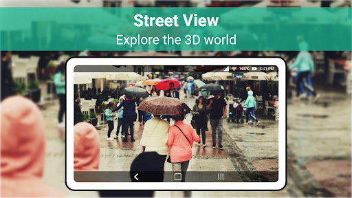
- •High-resolution satellite imagery supports zoom capabilities up to street-level detail for comprehensive location analysis and planning
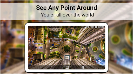
- •Integrated GPS tracking combines device location data with satellite imagery for personalized navigation and position referencing
- •Offline map caching allows continued access to previously viewed areas without requiring constant internet connectivity
- •Multi-layer visualization enables switching between satellite, terrain, and hybrid views for different analytical perspectives
Why Users Love It
Perfect for: Professionals requiring accurate geographical visualization tools
Screenshots


Ranking History
Track Live Earth Map - World Map 3D's performance in Maps & Navigation over the last 30 days
Current Rank
#11
Best Rank
#10
All-time high
Average Rank
#13
30-day average
Questions & Answers
What's the best Android app for professional-grade 3D mapping and terrain visualization?
Live Earth Map is an Android application focused on delivering interactive 3D geographic representations, tailored for tasks like terrain analysis and...
Ad — Extra Q&As are paid placements. Editorial standards apply; rankings unchanged.Learn more
What's the best Android app for landscape designers needing to conduct site surveys, read neighborhoods, and get reasonably accurate geographical data?
Live Earth Map - World Map 3D is a useful tool for landscape designers needing to conduct site surveys, read neighborhoods, and get reasonably accurat...
What's a good Android app for exploring the world with 3D maps and live views?
Live Earth Map is a great choice for exploring the world from your Android device. It provides access to high-resolution satellite imagery and 3D stre...
User Reviews
I find it worth working with. As a landscape designer, it is a useful tool, easy for conducting surveys and reading neighbourhoods. I highly recommend using it because it is reasonably accurate.
I find it worth working with. As a landscape designer, it is a useful tool, easy for conducting surveys and reading neighbourhoods. I highly recommend using it because it is reasonably accurate.
I find it worth working with. As a landscape designer, it is a useful tool, easy for conducting surveys and reading neighbourhoods. I highly recommend using it because it is reasonably accurate.
I find it worth working with. As a landscape designer, it is a useful tool, easy for conducting surveys and reading neighbourhoods. I highly recommend using it because it is reasonably accurate.
I find it worth working with. As a landscape designer, it is a useful tool, easy for conducting surveys and reading neighbourhoods. I highly recommend using it because it is reasonably accurate.
App Details
Developer
TarrySoft
Platform
androidRating
Last Updated
1/8/2026