by Sky Labs Studio
Detailed Review
Key Features
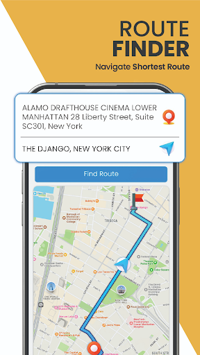
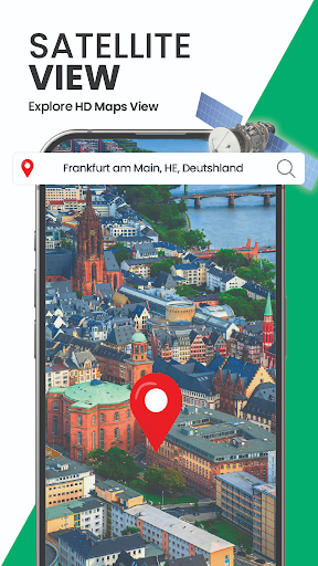
- •Satellite-based GPS navigation providing detailed maps and route planning for exploring unfamiliar urban and natural environments
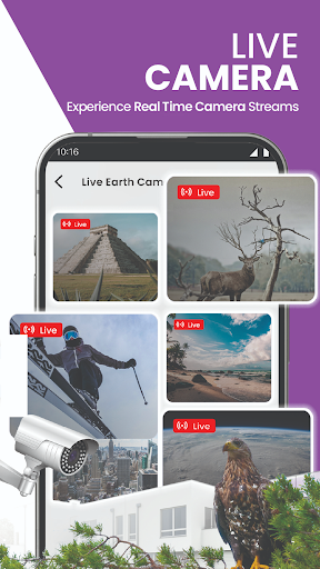
- •Categorized live camera access allowing users to view real-time feeds from airports, traffic systems, and scenic locations worldwide
- •Location-based camera discovery enabling users to find available public cameras near their current position or planned destination
- •Points of interest integration helping users identify and navigate to notable locations within unfamiliar cities or regions
- •Category filtering system permitting targeted exploration of specific camera types like transportation hubs or natural landmarks
Why Users Love It
Perfect for: Travelers and explorers seeking visual destination context
Screenshots


Ranking History
Track GPS Satellite Map, Live Camera's performance in Maps & Navigation over the last 30 days
Current Rank
#38
+8 from last week
Best Rank
#24
All-time high
Average Rank
#38
30-day average
Questions & Answers
What's the best Android app for seeing my current location in satellite view with live updates?
GPS Satellite Map, Live Camera is designed specifically for users who want to visualize their current location using detailed satellite imagery. The a...
Ad — Extra Q&As are paid placements. Editorial standards apply; rankings unchanged.Learn more
What's a good Android app for getting a satellite view and live camera feed of a location?
GPS Satellite Map, Live Camera is a useful Android app if you're looking to view satellite imagery or potentially live camera feeds of different locat...
User Reviews
Best app ever i travel with family of 8 every year 1632km to go skiing from Gold Coast Qld to Thredbo on Mount Koziosko we always make it without any issue to do this and never made a wrong turn
Best app ever i travel with family of 8 every year 1632km to go skiing from Gold Coast Qld to Thredbo on Mount Koziosko we always make it without any issue to do this and never made a wrong turn
Best app ever i travel with family of 8 every year 1632km to go skiing from Gold Coast Qld to Thredbo on Mount Koziosko we always make it without any issue to do this and never made a wrong turn
Best app ever i travel with family of 8 every year 1632km to go skiing from Gold Coast Qld to Thredbo on Mount Koziosko we always make it without any issue to do this and never made a wrong turn
Best app ever i travel with family of 8 every year 1632km to go skiing from Gold Coast Qld to Thredbo on Mount Koziosko we always make it without any issue to do this and never made a wrong turn
App Details
Developer
Sky Labs Studio
Platform
androidRating
Last Updated
1/11/2026