
by FishAngler, LLC
Detailed Review
Key Features
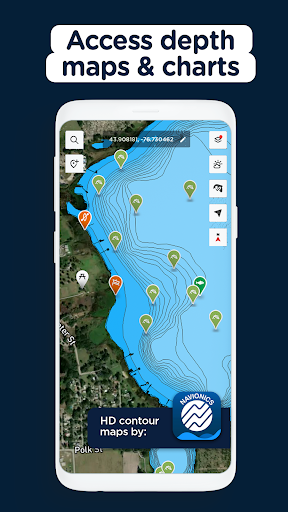
- •Advanced fishing maps with bathymetric data showing depth contours and structure details for improved location scouting
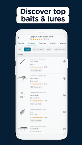
- •Species-specific bait recommendations based on geographical location, seasonality, and successful catch reports from users
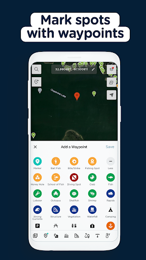
- •Private waypoint system allowing secure marking of productive fishing spots with custom notes and photos for future reference
- •Real-time fishing forecasts incorporating solunar tables, weather patterns, and historical catch data to predict optimal times
- •Community catch sharing platform enabling users to view recent catches, techniques used, and connect with local anglers
- •Free tier with substantial functionality including basic maps and catch logging without restrictive paywalls or advertisements
Why Users Love It
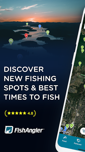
Perfect for: Recreational and serious anglers seeking data-driven fishing success
Screenshots


User Reviews
best app ever for fishing more people need to use it and tag catches to help out everyone else. I've never paid for a app before except for this one and I would pay three times it. just needs to add water temperature in the maps. also would be nice if it had the Contour and depth in rivers and streams besides just Lakes.
This app help me plan for the trips I take. Being retired I use it often and I am surprised how accurate it has proven to be for me. Update I am disappointed in the fact that they no longer give the temperature and wind, I'm surprised . Hope they change back. Still good app just was better before.
This app is accurate and very useful for any level of fishing 🎣. And it is very easy to navigate.10/10
I like to see all the fish others get for it gives me hope... lol really like how it shows all the water, I never thought I lived near so much. and you can make new fishing buds to show or talk about the one that got away if I ever get a bite?
Best fishing app I've used, everything you need is easily accessible and interface is laid out in a way that makes sense. Upgrade unlocks more options but they don't make the free version absolutely useless like other apps forcing you to upgrade.
App Details
Developer
FishAngler, LLC
Platform
androidRating
Last Updated
9/7/2025