
by CoMaps
Detailed Review
Key Features
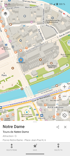
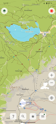
- •Offline navigation using downloadable OpenStreetMap data enables full functionality without internet connectivity or data usage
- •Privacy-focused operation with no user tracking, advertising, or data collection protects user information from commercial exploitation
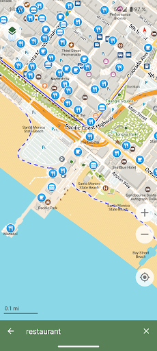
- •Community-driven map improvements allow users to contribute updates and corrections through integrated reporting tools
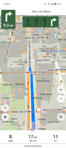
- •Multi-mode routing support including driving, cycling and walking navigation with optimized paths for each transportation type
- •Open-source transparency provides full code visibility and community auditing capabilities for security verification
- •Lightweight minimalist interface design ensures fast performance even on older Android devices with limited resources
Why Users Love It
Perfect for: Privacy-conscious users seeking open-source navigation alternatives
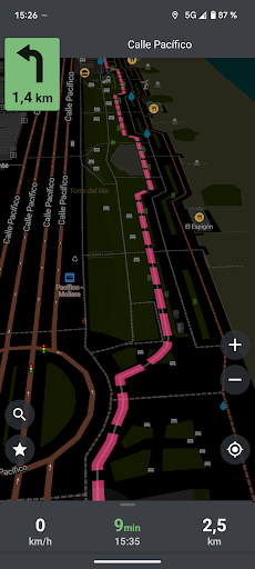
Screenshots

User Reviews
Even though the app is not perfect yet, I very much appreciate the effort to provide a user-friendly, free and open-source alternative! OpenStreetMap maps are superb and CoMaps makes them easily accessible. Thank you so much for the effort!
switched from organic maps after the trouble there. Comaps is a more polished, cleaned up version of that. works quick flawless, and the openstreetmap data is arguably better than Google maps in many regions, especially for outdoor tracking and biking. No real time traffic info (yet?), but other than that a great navigation app.
The app works great. It is basically the same as the app origin of this fork, but this one is full Open Source. CoMaps relies on OpenStreetMap, and depending on the country/region, its navigation is better than other famous apps.
Great offline map app! Fast, clean, and respects my privacy — no ads, no tracking. Works perfectly offline and is open-source, which I really appreciate. Love the community-driven approach. Great use of colours. Thanks to the team.
excellent and simple navigation app that covers all my car and bicycle use cases. This is a fork continuing the stalled "Organic Maps" project as a community project.
App Details
Developer
CoMaps
Platform
androidRating
Last Updated
9/7/2025